

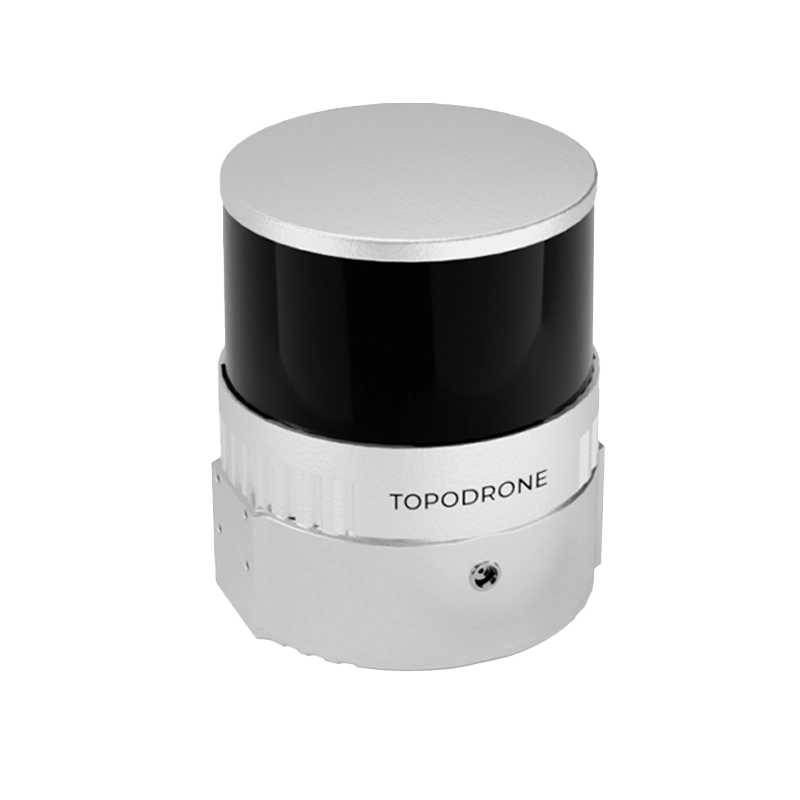
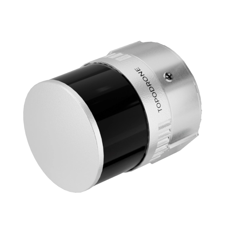
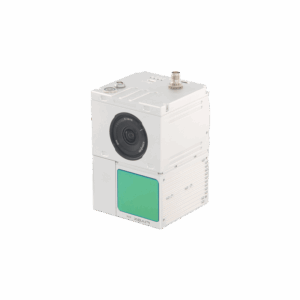
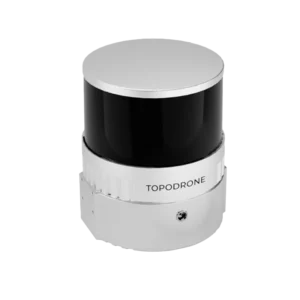
TOPODRONE LiDAR 100+
The TOPODRONE LiDAR 100+ is an advanced system for high-precision 3D mapping. With a range of 100 m and 320,000 points per second, it offers accurate data with an XYZ accuracy of 3-5 cm. It includes integrated cameras and SLAM technology for operations in complex environments.
Based on 0 reviews
Show only reviews in English (0)
Be the first to review “TOPODRONE LiDAR 100+”
Related products
- 3D Lidar
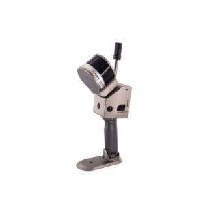
Laser Scanner Slam GS-100G Series
The SLAM GS-100G Series Laser Scanner is the plug-and-play solution for precision laser scanning in industrial and automation environments. With advanced SLAM technology, multi-protocol support, and robust galvanic isolation, it provides reliable and secure 3D acquisitions, cross-platform configuration, and modular DIN-rail mounting.
SKU: n/a - 3D Lidar
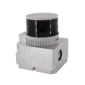
Laser Scanner GS-260H
The GS-260H is a compact LiDAR for drones and light vehicles, with triple return and density up to 1.92 M pt/s over 300 m. The integrated POS (GNSS+INS 200 Hz) and 26 MP camera ensure centimeter accuracy and perfect synchronization between point cloud and imagery. Ideal for topographic surveys, infrastructure inspections and smart cities with “one-key” workflow.
SKU: n/a - 3D Lidar
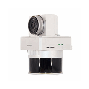
Laser Scanner GS-130X
The GS-130X is an integrated LiDAR system for UAVs that combines 32-beam scanner, dual echo, high-frequency GNSS+INS POS and 26 MP camera (optional). With density up to 1.28 M points/s and centimeter accuracy over 120 m, it enables fast and reliable surveys for smart cities, precision agriculture, infrastructure monitoring, and environmental surveys with the “one-key” Shuttle and gAirHawk software.
SKU: n/a


There are no reviews yet.