

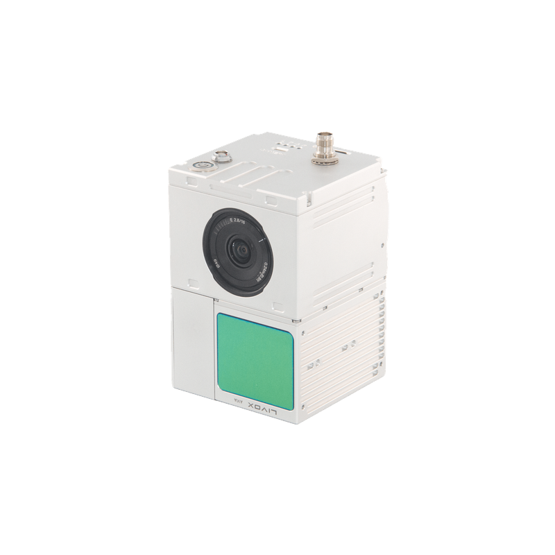
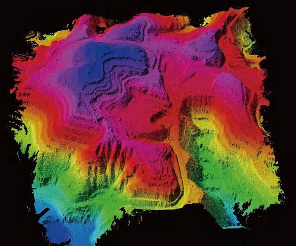
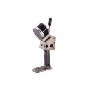
Laser Scanner GS-100C+
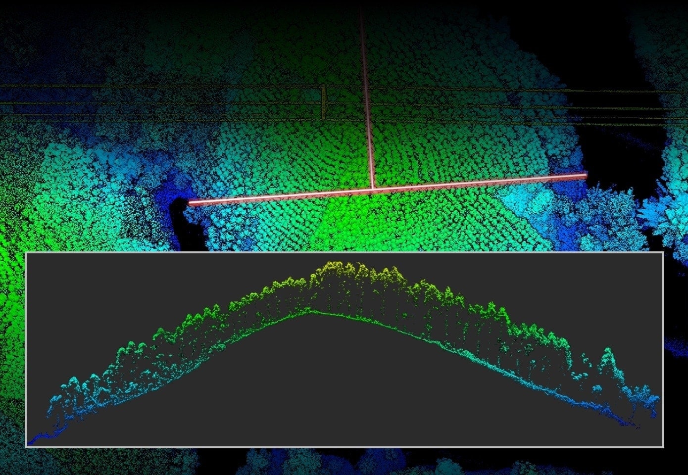
The GS-100C+ Laser Scanner is a compact, high-precision system designed for drone applications. Ideal for 3D surveys, topographic mapping and industrial monitoring, it offers accurate and detailed data even in complex environments.
Based on 0 reviews
Show only reviews in English (0)
Be the first to review “Laser Scanner GS-100C+”
Related products
- 3D Lidar
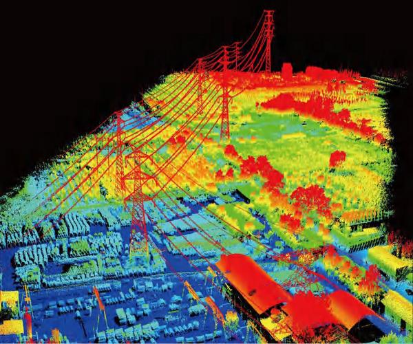
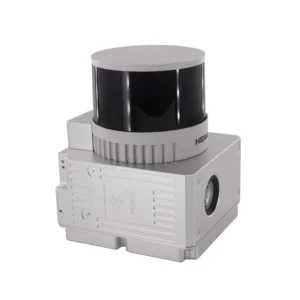
Laser Scanner Slam GS-100G Series
The SLAM GS-100G Series Laser Scanner is the plug-and-play solution for precision laser scanning in industrial and automation environments. With advanced SLAM technology, multi-protocol support, and robust galvanic isolation, it provides reliable and secure 3D acquisitions, cross-platform configuration, and modular DIN-rail mounting.
SKU: n/a - 3D Lidar
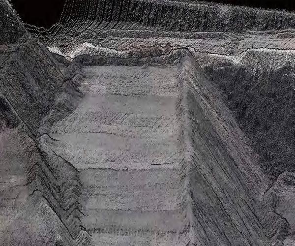
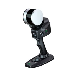
Laser Scanner GS-260X
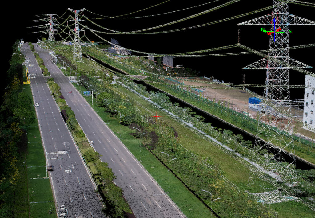
The GS-260X is an ultra-compact 1.1 kg LiDAR for drones, VTOLs and vehicles, capable of generating up to 1.92 M points/s with triple return at 300 m distance. With built-in POS (gSpin 310 at 200 Hz) and synchronized 26 MP camera, it ensures centimeter accuracy and georeferenced photo textures. Ideal for terrain mapping, infrastructure inspections, and smart city projects with “one-key” workflows.
SKU: n/a - 3D Lidar
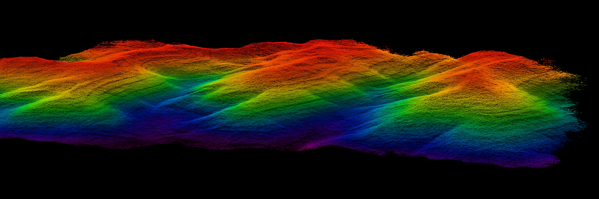
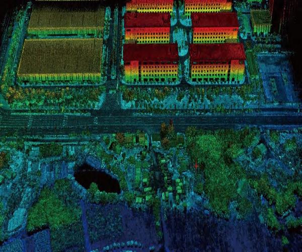
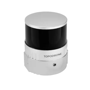
TOPODRONE LiDAR 100+
The TOPODRONE LiDAR 100+ is an advanced system for high-precision 3D mapping. With a range of 100 m and 320,000 points per second, it offers accurate data with an XYZ accuracy of 3-5 cm. It includes integrated cameras and SLAM technology for operations in complex environments.
SKU: n/a


There are no reviews yet.