

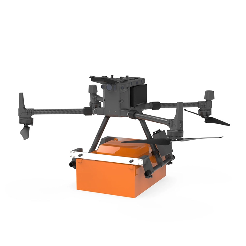
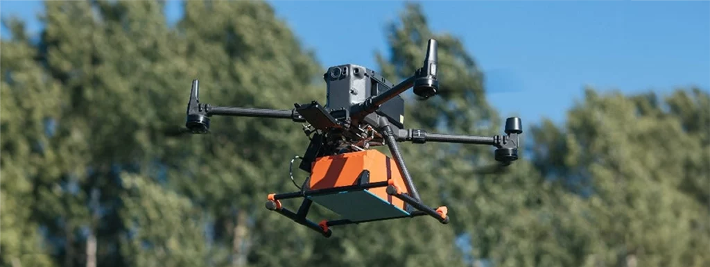
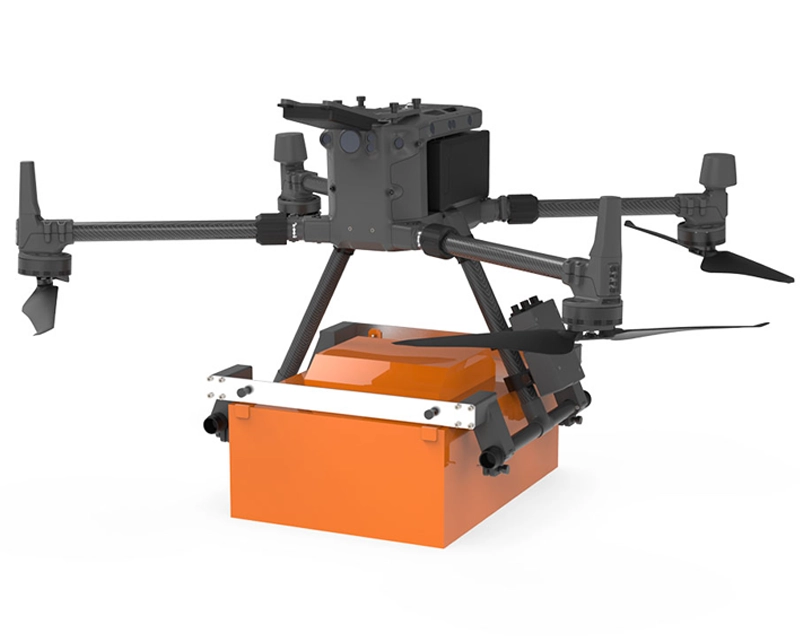
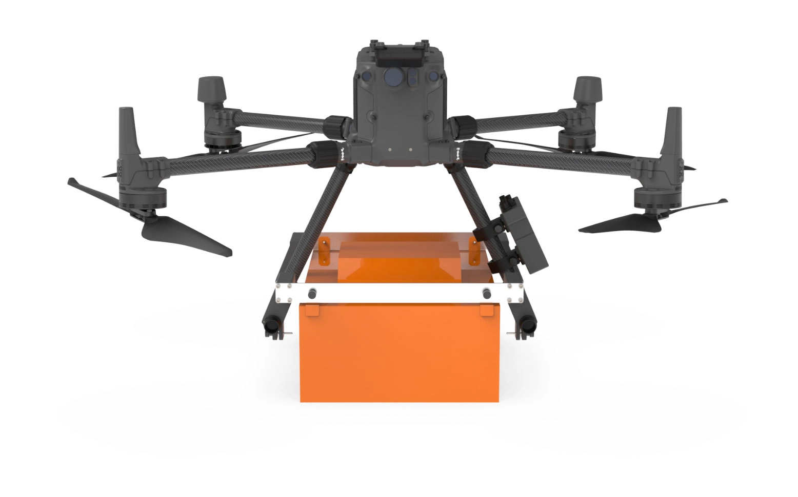
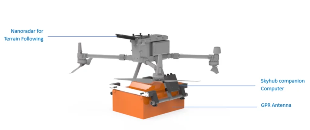
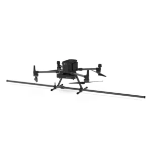
Georadar Drone - Zond Aero 500 NG
The Zond Aero 500 is an ultralight, single-unit ground penetrating radar (GPR) system specially designed for portable solutions. Compatible with DJI Matrice 300 and 350 drones, this georadar offers advanced performance for geophysical and archaeological survey applications.
From 21.959,00 € TAX Included
Based on 0 reviews
Show only reviews in English (0)
Be the first to review “Georadar Drone - Zond Aero 500 NG”
Related products
- Echosounder, Georadar, Magnetometer, Onboard Computer
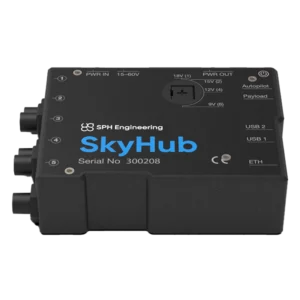
Skyhub
UgCS SkyHub is an on-board computer for DJI drones, ideal for integrating advanced sensors and automating missions in professional surveys. Compatible with magnetometers, georadars and UgCS software, it optimizes data collection in complex operations.
SKU: SKYHUB3 - Georadar & Magnetometer Combo, Magnetometer
Drone magnetometer - Sensys MagDrone R4
The Sensys MagDrone R4 is an ultra-portable magnetometer for drones, compatible with DJI M300 and M350 RTK. Designed for surveys over large areas, it is ideal for operations inaccessible on the ground. Equipped with built-in GPS, it supports optimal geotagging and connects to external GPS. Perfect for mining exploration, security, archaeology and underground structure surveying.
SKU: n/a


There are no reviews yet.