

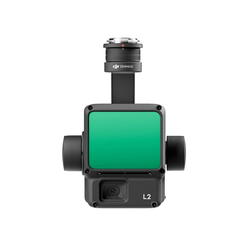
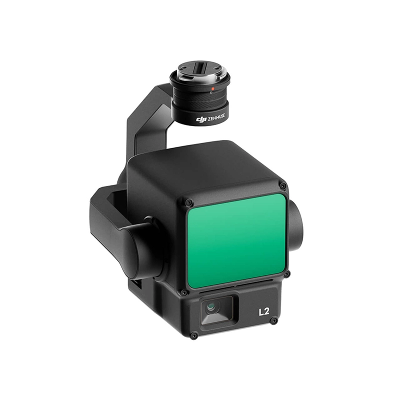
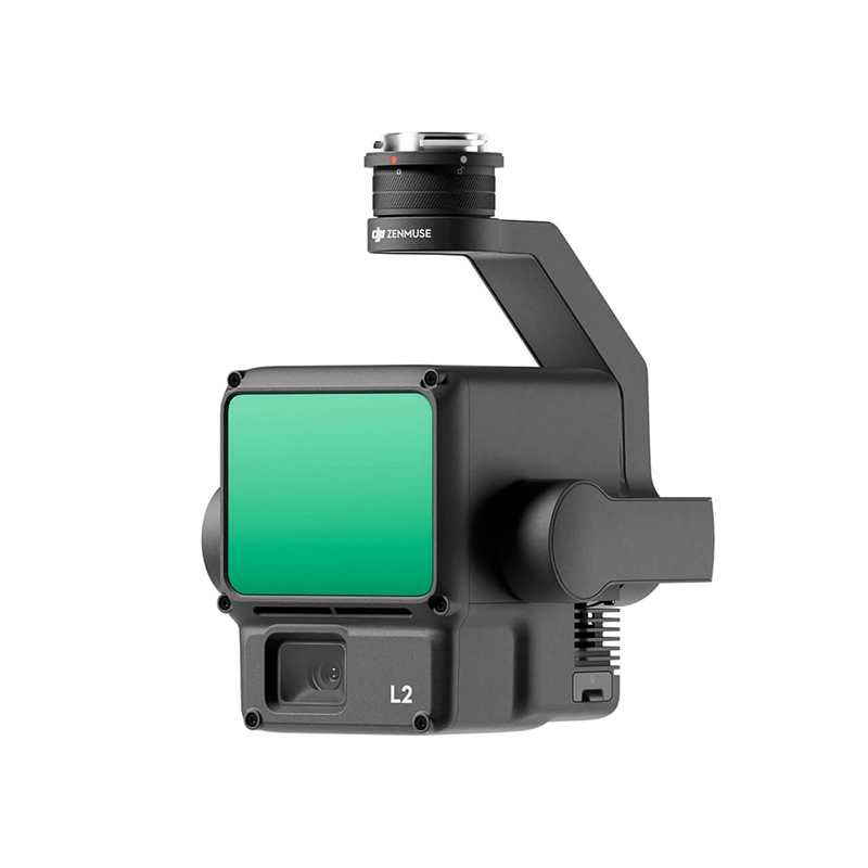
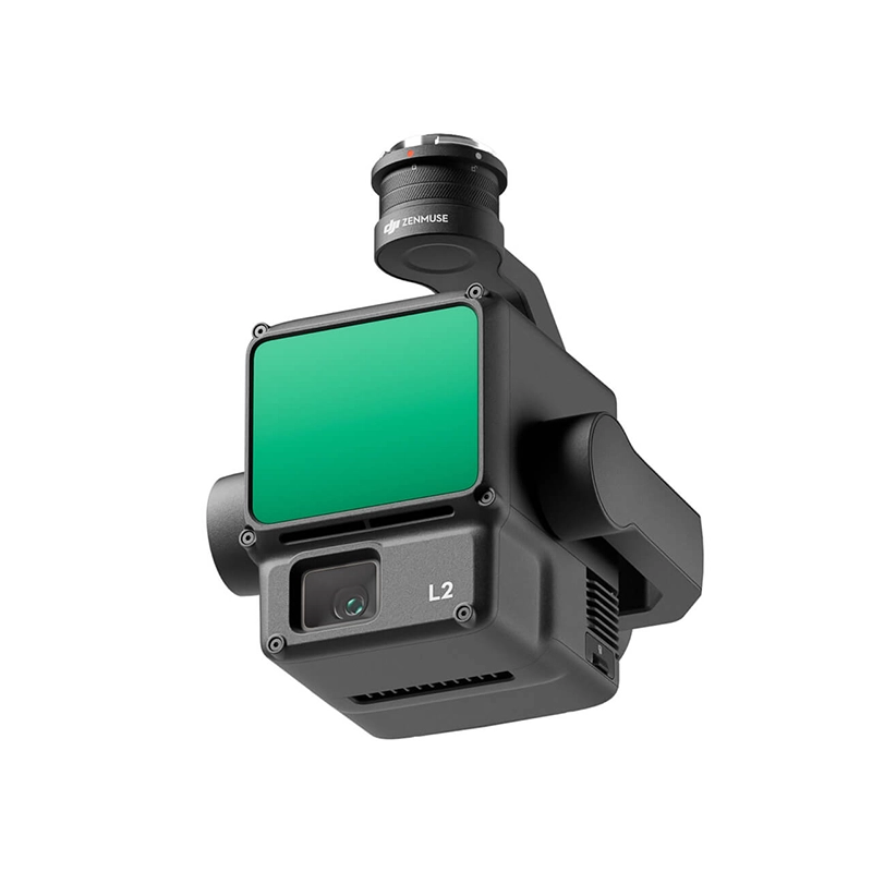
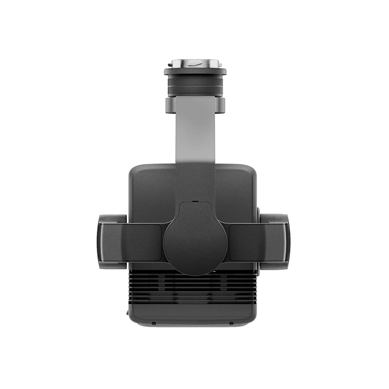
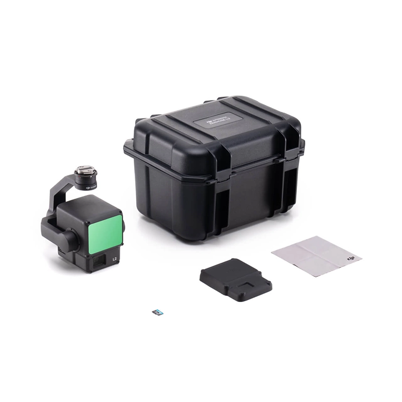
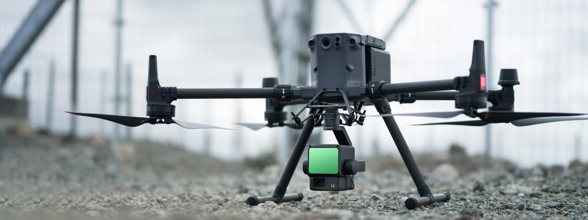
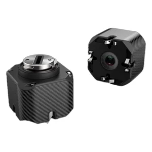
DJI Zenmuse L2 3D Lidar
Zenmuse L2 integrates LiDAR frames, an in-house developed high-precision IMU system and a 4/3 RGB CMOS mapping camera, providing DJI flight platforms with more accurate, efficient and reliable geospatial data acquisition. When used with DJI Terra, it offers a turnkey solution for 3D data collection and high-precision post-processing.
From 13.199,00 € TAX Included


Based on 0 reviews
Show only reviews in English (0)
Be the first to review “DJI Zenmuse L2 3D Lidar”
Related products
- DJI Matrice 350 RTK series, Spotlight
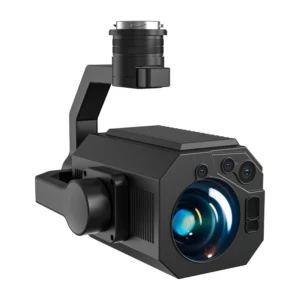
PTZ Spotlight DJI Matrice 350 - 12000LM/120W - 350mt
The DJI Matrice 350 PTZ Spotlight offers 12000LM power and 120W, providing powerful and clear illumination up to 350 meters. Perfect for nighttime operations and long-range surveillance. Enhance your operations with maximum visibility.
SKU: DB-SL350+ - Combo Cleaning Drone, DJI Matrice 350 RTK series, Drone Cleaning System
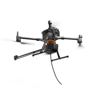
Drone Cleaning System DJI Matrice 350
 Combo Cleaning Drone, DJI Matrice 350 RTK series, Drone Cleaning System
Drone Cleaning System DJI Matrice 350
The Drone Cleaning System for DJI Matrice 350 ensures efficient operation
with a pressure of 180bar and coverage of 600 m²/h.
Ideal for high-altitude cleaning, it ensures rapid
removal of dirt and debris while reducing risks through remote control.SKU: n/a - Air Water & Gas Sensors, DJI Matrice 350 RTK series
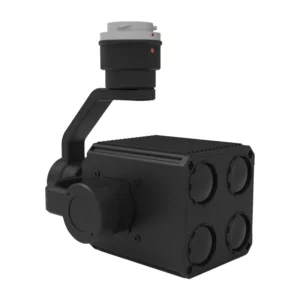
CH4 Laser Sensor for Methane Detection
The CH4 Laser Sensor for Methane Detection is designed for the DJI Matrice 350 drone. It offers high accuracy and reliability, enabling efficient aerial monitoring of methane gas leaks, ideal for industrial and environmental applications.
SKU: LS-CH4 - DJI Matrice 350 RTK series, Speaker
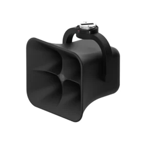
DJI Speaker Matrice 300 - 130db 1000mt
The DJI Matrice 300 Speaker offers 130dB audio power, a 1080P HD camera, and a stabilized gimbal for voice and visual transmissions up to 800 meters. Perfect for real-time communications, inspections, and emergency operations.
SKU: DB-SPK350+


There are no reviews yet.