

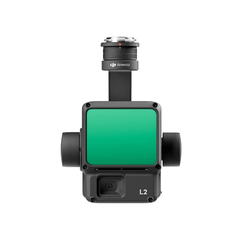
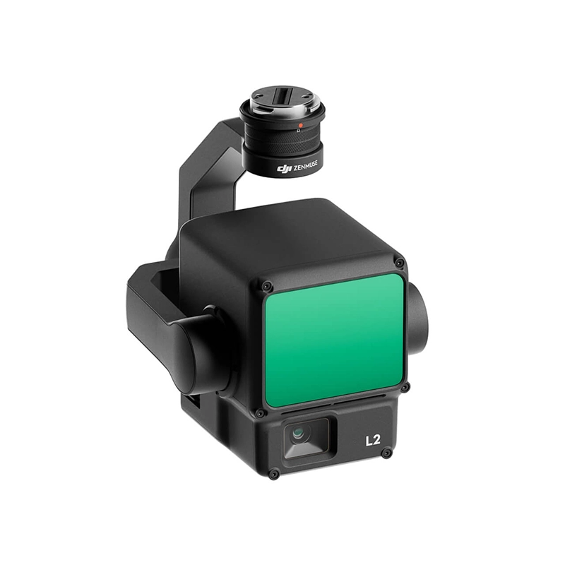
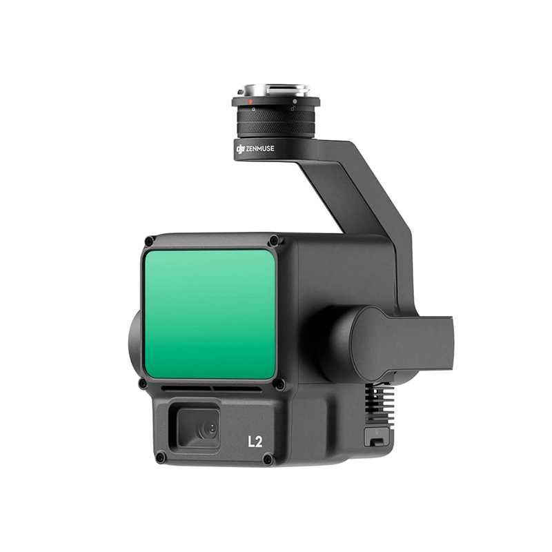
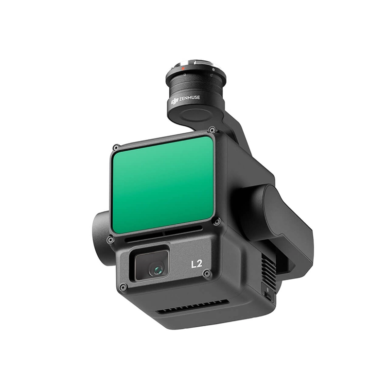
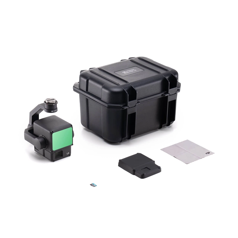
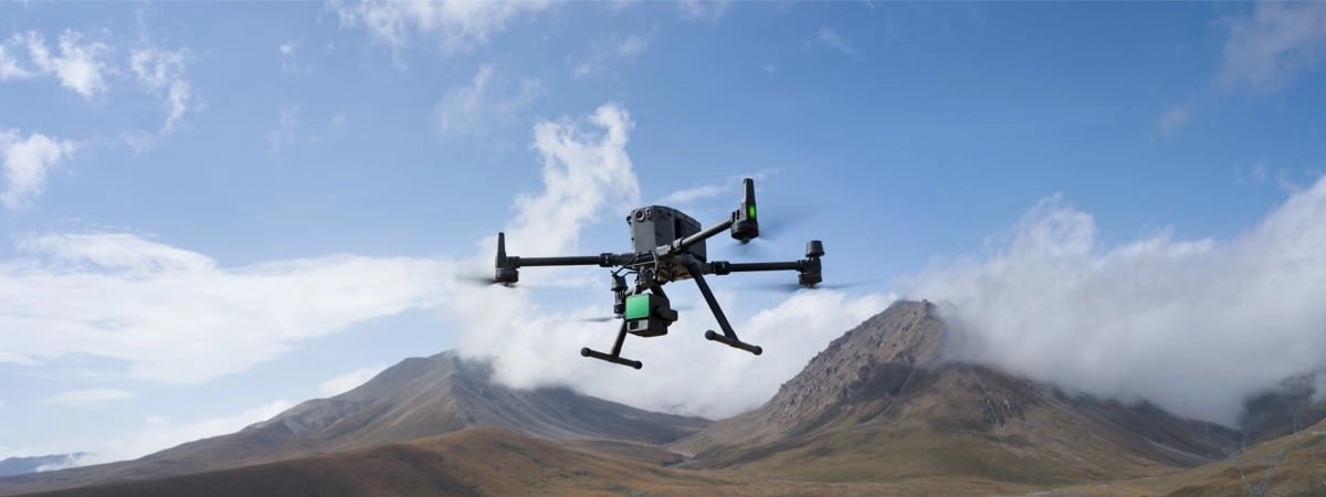
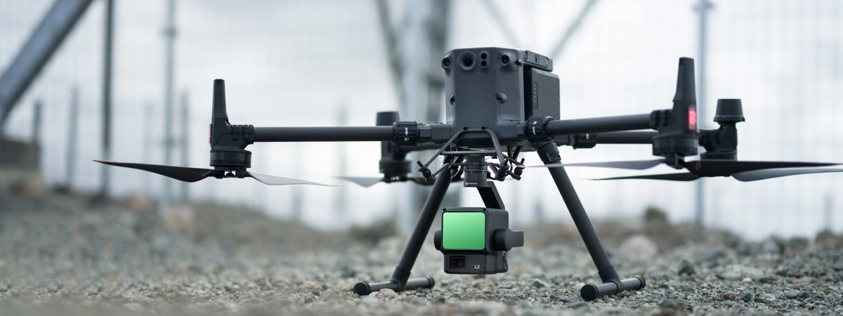
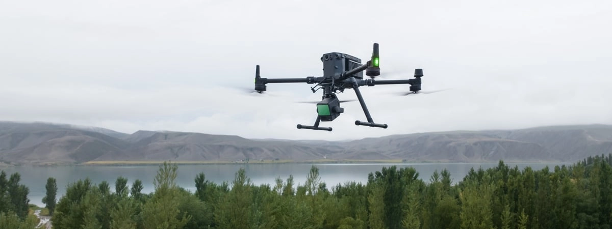
DJI Zenmuse L2 3D Lidar
Zenmuse L2 integrates LiDAR frames, an in-house developed high-precision IMU system and a 4/3 RGB CMOS mapping camera, providing DJI flight platforms with more accurate, efficient and reliable geospatial data acquisition. When used with DJI Terra, it offers a turnkey solution for 3D data collection and high-precision post-processing.
From 13.199,00 € TAX Included


Based on 0 reviews
Show only reviews in English (0)
Be the first to review “DJI Zenmuse L2 3D Lidar”
Related products
- DJI Matrice 350 RTK series, Security & Support
DJI Matrice 350 Flyer Launcher
The DJI Matrice 350 Flyer Launcher is an aerial flyer distribution device compatible with DJI drones. It carries up to 500 A5 sheets with rapid release at up to 5 sheets/s. Ideal for information and tactical operations.
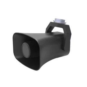
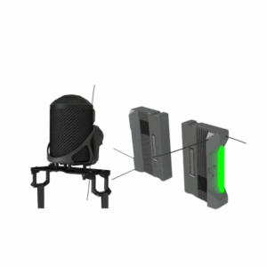
SKU: DB-FTS350 - DJI Matrice 350 RTK series, Speaker
DJI Speaker Matrice 350 - 130db 500mt
The DJI Matrice 350 Speaker offers powerful 130dB audio and a range of up to 500 meters, ensuring loud and clear communications in large spaces and during long-range operations. Ideal for professional applications and outdoor environments, it ensures excellent performance.
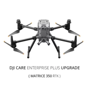
SKU: DB-SPK350 - DJI Matrice 350 RTK series
DJI Care Enterprise Plus Upgrade (M350 RTK)
DJI Enterprise Shield Plus insurance against breakage with unlimited coverage for 1 year.
Tips
- Activation is done by the dealer by providing the drone serial number.
- Activation could take up to 5 business days.
- Activation can only be done within 15 calendar days after the activation of the drone.
SKU: DJM360


There are no reviews yet.