Software
Showing 1–12 of 23 results
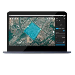
- DJI Dock 2 Hangar, Flytbase
FlytBase - 1 year
FlytBase is an advanced software platform for automation and remote management of drone operations. Ideal for security, industrial inspections and emergency response, it enables optimization of repetitive missions and real-time monitoring via DJI Dock.
SKU: n/a - Topodrone
TOPODRONE LiDAR Post Processing License
The TOPODRONE LiDAR Post-Processing License is LiDAR data processing software, ideal for transforming point clouds into detailed 3D models. With tools for filtering and georeferencing, it supports applications in topography and civil engineering with accurate results.
SKU: n/a - DJI Matrice 350 RTK series, DJI Mavic 3 Multispectral, DJI Terra, Drone DJI Mavic 3 Enterprise, Software
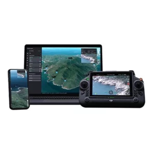
DJI Terra Electricity Overseas 1 year (1 device)
 DJI Matrice 350 RTK series, DJI Mavic 3 Multispectral, DJI Terra, Drone DJI Mavic 3 Enterprise, Software
DJI Terra Electricity Overseas 1 year (1 device)
DJI Terra Electricity Overseas 1 year (1 device) Supports cluster processing mode Multiple computers perform calculations simultaneously, significantly improving efficiency, suitable for large-scale reconstructions. Requires purchase of cluster version license for use. Supports processing of the Lidar point cloud collected by ZENMUSE L1.
SKU: DJET02 - DJI FlightHub 2, Software
DJI FlightHub 2 Addon LiveStream 10,000 Minutes
The DJI FlightHub 2 Addon LiveStream offers 10,000 minutes of streaming for real-time monitoring of your flights. It optimizes drone management with high-quality streaming and advanced security, ensuring precise control and a clear view of air operations.
SKU: DJF203